


このアプリのYoutube動画がある場合はURLを送信してください。詳細 »
APPLICATION INFO - iPhoneアプリの詳細情報
The Cartograph app views Mapsforge offline vector maps and records tracks.
Please contact us if you have any questions, problems, or feature requests: https://www.cartograph.eu/v3/contact/
## Map features
- View Mapsforge offline vector maps (including OpenAndroMaps.org maps!).
- Support for OpenAndroMaps render themes (Elevate, Elements), which are great for hiking, mountainbiking, running, and other outdoor activities.
- Other supported offline map formats: MBTiles (raster and OpenMapTiles MVT vector), TwoWays RMAP, Locus SQLite, Oruxmaps SQLite.
- Supported online map types: Mapbox vector tiles (MVT - OpenMapTiles style), Bing quadkey tile format (raster), OpenStreetMap slippy tile format (raster), raster WMS (web map service, including layers and styles).
- Offline hillshading and slope mapping (*).
- Mapsforge multi-maps (combine multiple Mapsforge maps into a single map) (*).
- Classic Mapsforge and new Mapsforge VTM rendering support.
- Stack multiple map layers on top of each other (including transparency) (*).
- 3D buildings (*).
- Create custom Mapsforge maps (**).
- Grid overlays, including WGS84, UTM, MGRS (military grid reference system), and many local projections (*).
- Supports classical latitude/longitude (WGS84), UTM, MGRS, and many local (proj4) coordinate display projections.
- Online map tile downloader (*) (see https://www.cartograph.eu/v3/online-map-tile-downloader/).
- Image to map calibration tool (*) (https://www.cartograph.eu/v3/image-to-map-calibration-tool/).
## Tracks and routing
- Track recording while the app is in background (*).
- Draw custom tracks using the track drawing tool (*).
- Photo-, video-, and audio waypoints (*).
- BRouter offline route calculation (*).
- OSRM routing.
- Google Directions, Bing Routes (**).
- Basic offline navigation with voice instructions and custom audio instructions (*).
- Waypoint alerts (*).
- Current route elevation profile (*).
- Import and export *.gpx, *.kml, *.kmz (only import) tracks.
- Import EXIF JPEG photos and Google Takeout as bookmarks (*).
- Garmin icon support (*).
- Live friend tracking (share your location with friends live on a map) (*).
## Other features
- Measurement tools (distance, elevation profile, circular distance) (*).
- Workspaces (manage sets of maps/overlays/tracks) (*).
- Cloud sync (backup data and synchronize data among multiple devices) using Microsoft OneDrive, DropBox, or your own web server (*).
- "What's here" (reverse geo-code).
- Built-in offline overlays for drinking water, supermarkets, hostels, and restaurants.
- Search: Google Places, Bing, Nominatim (**).
- Supports WunderLINQ (https://blackboxembedded.com/) and Carpe-Iter-Control (https://carpe-iter.com/carpe-iter-control/).
- Included translations: English, German, Hungarian, Polish, Traditional Chinese.
- Create your own translations: https://www.cartograph.eu/v3/add-ons/translations/
Items marked with (*) are available in the full version which is available as an in-app-purchase.
Items marked with (**) require credits which can be obtained in the app.
## In app purchases
The Cartograph app offers in-app-purchases for activating all features, and for accessing 3rd party services (such as Google Directions).
A detailed description of all products and the Terms of Use are available here: https://www.cartograph.eu/v3/in-app-purchase-info/
## Disclaimer
The Cartograph app allows you to record your location ("track recording") while the app is in background. Location services can significantly increase battery usage.
 このアプリはiPhone、iPadの両方に対応しています。
カテゴリー
ナビゲーション
ナビゲーション
リリース
2022/1/9
2022/1/9
更新
2022/6/6
2022/6/6
バージョン
3.2.1
3.2.1
言語
サイズ
60.2 MB
60.2 MB
条件
このバージョンの新機能
3.2.1 / 81 (04-06-2022)
- Added: Option for picking ".onlinemap" definition files from the online maps view "+" button (in the Map manager).
- Added: Option for exporting track folders (containing multiple tracks) to a single GPX/KML file.
- Improved trac
3.2.1 / 81 (04-06-2022)
- Added: Option for picking ".onlinemap" definition files from the online maps view "+" button (in the Map manager).
- Added: Option for exporting track folders (containing multiple tracks) to a single GPX/KML file.
- Improved trac
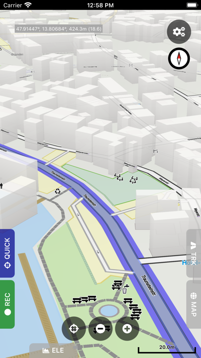
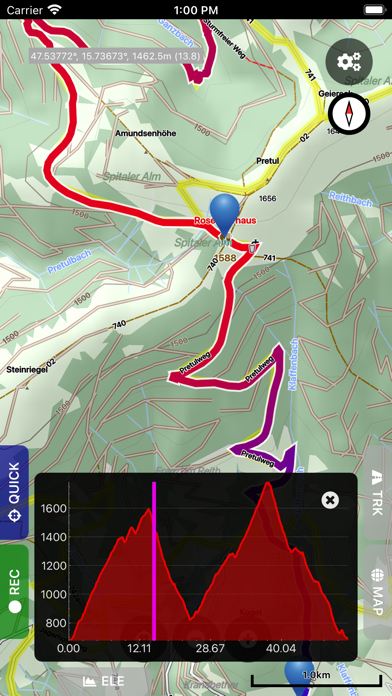
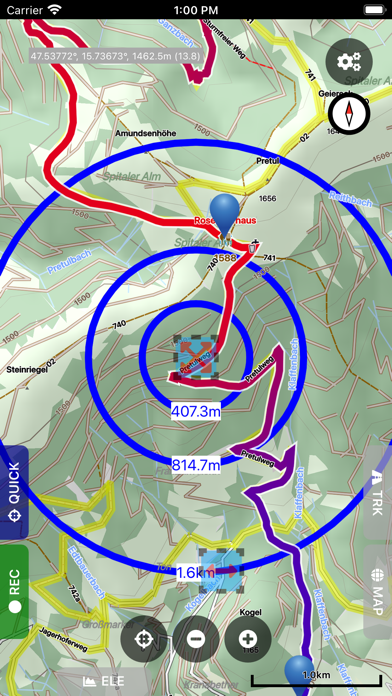
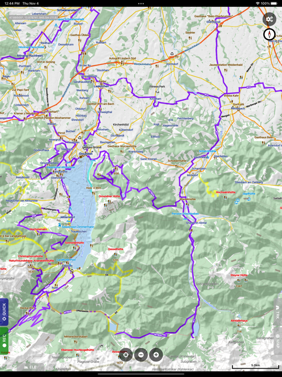
スクリーンショット - iPhone | iPad
スクリーンショット - iPhone | iPad
Harald Meyer の他のアプリ » もっと見る
» 目的別iPhoneアプリ検索
- 辞書 » 日本語対応の辞書 » 英和辞典
- 学習 » 英単語 » 英会話 » クイズで楽しく
- スケジュール » 管理 » Googleカレンダー


CatchApp新着アプリレビュー
 日本縦断てつどうの旅」")
様々な楽しみ方で運転士として成長していく鉄道運転士育成RPG「プラチナ・トレイン(プラトレ) 日本縦断てつどうの旅」
2016-05-17 00:00

日本語にはない英語発音のリスニングを楽しく学べる「発音どっち?英語リスニング 」
2014-12-20 12:00

指先の瞬発力が試されるカジュアルゲーム「早撃ちパニック」をリリース!
2014-12-08 15:21
新着アプリ動画
-
 ¥1500
¥1500

-
 ¥600
¥600
-
 ¥3000
¥3000